Military Space
Enabling secure, efficient situational awareness and data exchange in military operations.
A cornerstone for armed forces
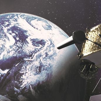
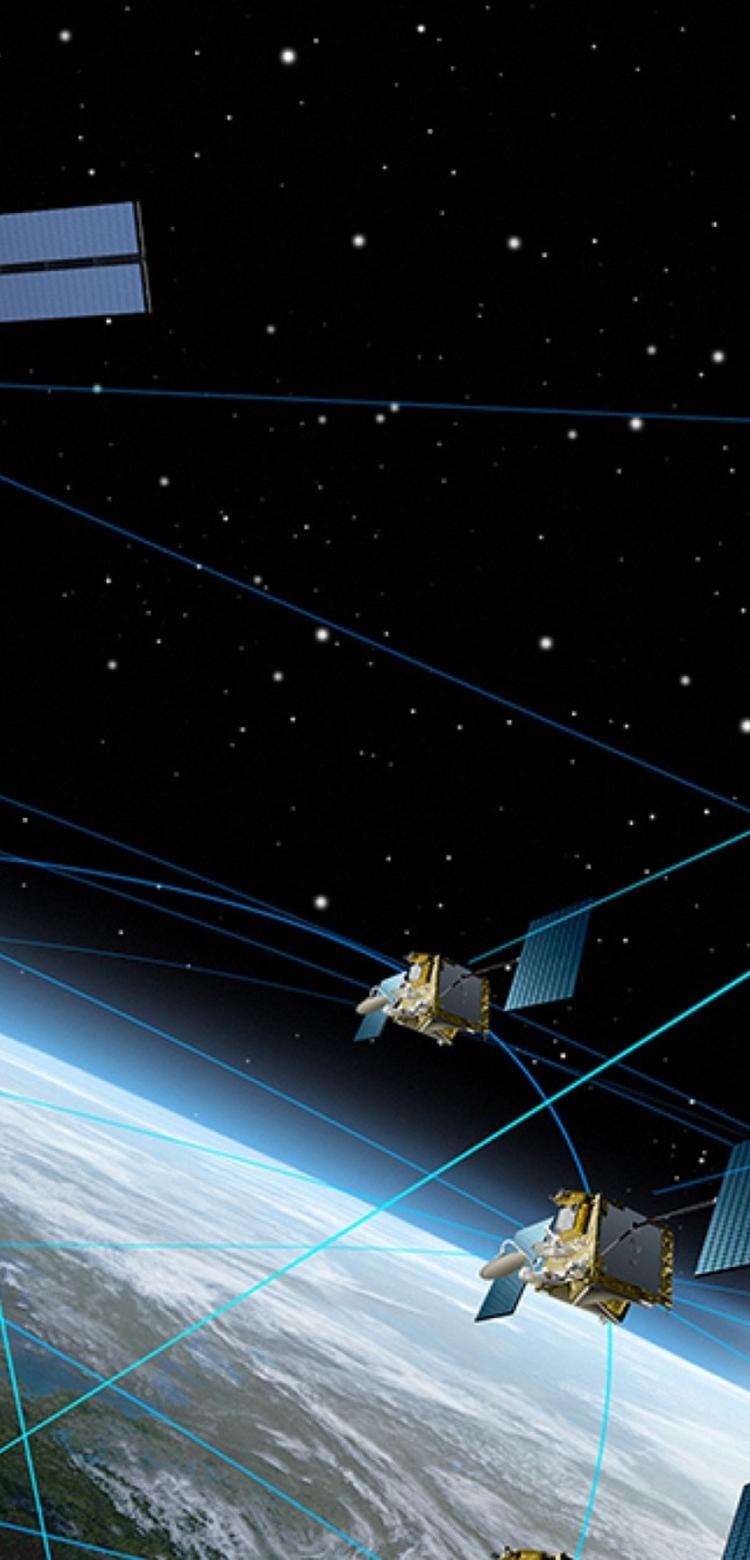
The role of space-based products and services are increasingly of strategic importance for defence and security actors. Space-based capabilities such as communication, navigation, real-time intelligence and surveillance, are critical for military forces to fulfil their missions.
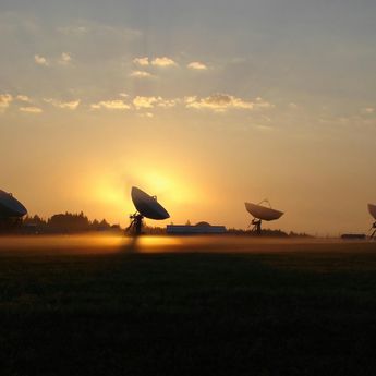
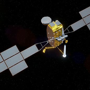
Airbus’ military satellites communication solutions ensure our customers are always connected and ready for the growing amount of data to be collected and disseminated, on the ground, at sea, in the air and in orbit. These secure, flexible and scalable communications systems enable our customers to exchange critical information with appropriate connectivity, and to preserve individual national sovereign interests.
Military Earth observation satellites help strengthen nations' ability to plan and conduct operations. Our optical to radar satellite imagery provides decision-makers with the ability to enhance security, optimise mission planning and operations, improve performance and scale management resources.
We offer a broad portfolio: from satellites and ground stations, to complete end-to-end systems and services for full operational capability
Military Satellite Communications


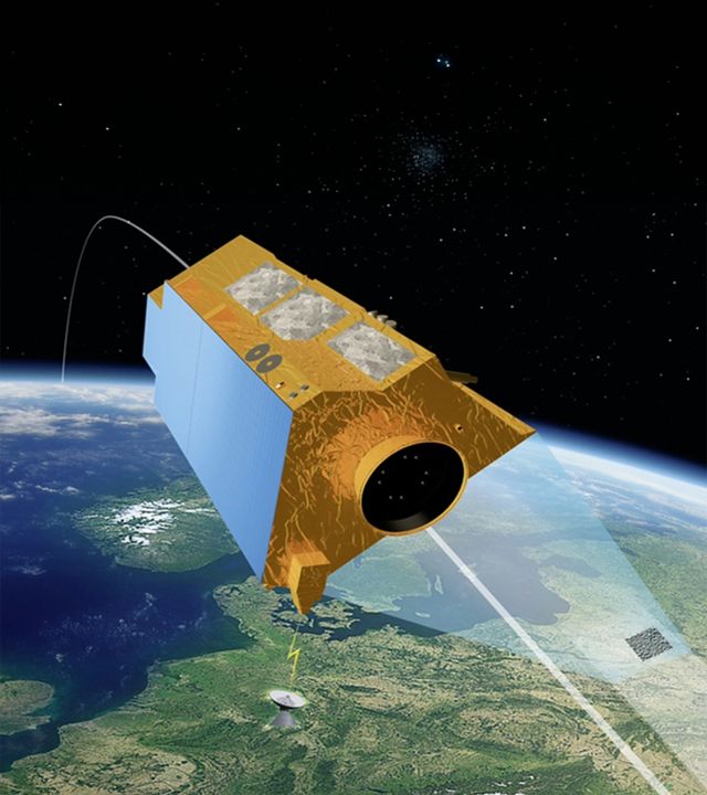
CERES - Space-based Signal Intelligence Capability
CERES is France’s first signal intelligence satellite system, designed to detect and geo-locate electromagnetic signals from radio communication systems and radars in areas where surface sensors cannot reach. From its low Earth orbit, CERES is free from airspace overflight constraints and can operate in all types of weather. The system provides in-depth information to support military operations for the French Armed Forces, thus improving situational awareness.
The latest Defence news
In the spotlight
-

International Training Centre: 15 years training the world's best military crews
Web Story
Defence
The Airbus International Training Centre in Seville is the training centre for military aircraft crews -A400M, A330 MRTT, C295, CN235- and future platforms -
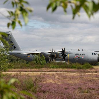
Airbus A400M: Landing where others can't to deliver more aid
Web Story
Defence
-

Combating information warfare: How Airbus is helping win the fight for the truth
Web Story
Defence
-
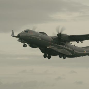
Airbus C295: How Ireland’s eyes in the skies help prevent illegal fishing
Web Story
Defence
-
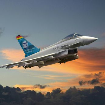
Germany orders 20 new Eurofighters to strengthen air superiority
Press Release
Defence
