Transforming data into insight
Fighting climate change
Over the past 50 years, remote sensing via satellites has yielded both spectacular views of our planet and unprecedented scientific insights.
Today, Earth observation satellites are at the forefront of monitoring deforestation, rising sea levels and greenhouse gas emissions in the atmosphere.
At Airbus, we not only build many of these satellites but transform geospatial data into actionable insight to help our partners fight climate change.
Satellites to monitor climate change
More than 150 Earth observation satellites are currently in orbit. Their mission is to provide scientists with the essential data needed to detect environmental changes on Earth. Because more than 50% of climate variables can only be measured from Space, Earth observation satellites are a vital tool to monitor the effects of climate change on natural ecosystems.
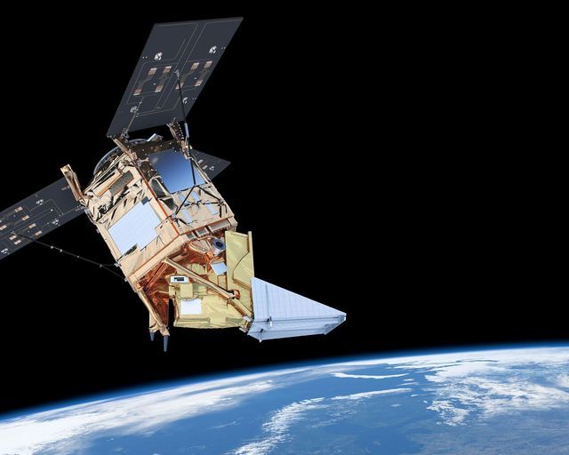
We are involved in all major environment-monitoring satellite programmes in Europe and play a role in all 12 of the Copernicus missions.
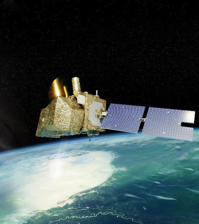
At any one time, 20 of our satellites are involved in climate change monitoring and an additional 20 are in development. Our complete fleet of satellites measures:
- Key atmospheric constituents
- Land and sea topography
- Air quality, temperature and humidity
- Snow and ice coverage
This critical geospatial data enables us to:
- Provide scientists with a better understanding of the Earth’s system and evolution
- Help governments and humanitarian agencies prepare for and manage disasters
- Generate environmental impact assessments for large industries

Copernicus and the Sentinel family
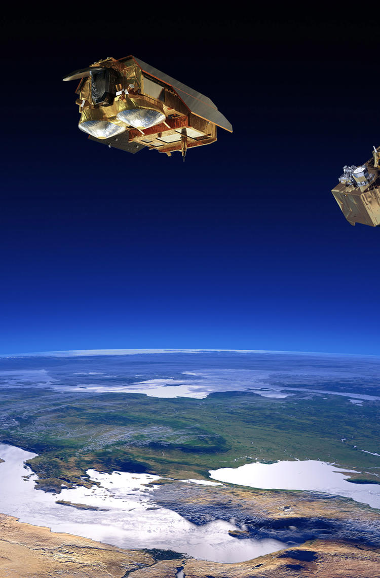
The largest provider of Earth observation data in the world, this European satellite programme focuses on improving environmental management, understanding and mitigating climate change effects, disaster and crisis management and ensuring civil security. Airbus-built Sentinels 2, 5P and 6 are currently in orbit. New satellites LSTM, CRISTAL and ROSE-L with its Airbus-built instrument, will launch as of 2027 to expand the current capabilities in key areas such as food security, irrigation and water scarcity.

Airbus satellite fleet
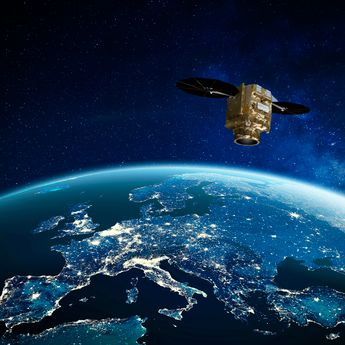
Owned and operated by Airbus, this satellite fleet delivers geo-intelligence services for a variety of applications. Current in-orbit satellites include optical satellites Pléiades Neo, SPOT and Pléiades, as well as Vision-1 and the DMC Constellation, and radar satellites TerraSAR-X, Tandem-X and PAZ.
Latest news
-

Stories Space
Biomass, a satellite to look inside the world’s forests like never before
The ESA Biomass satellite, built by Airbus, monitors forests to evaluate carbon stocks and their impact on climate change. -

Stories Innovation
Improving the world we live in with AI-powered products
-

Press releases Space
Ariane-6 launches CSO-3: double success for France and Europe
-

Press releases Space
Airbus-built Biomass forest measuring satellite shipped to Kourou
-

Stories Space
Inside Atlid, mastering atmospheric LiDAR technology for space


