Keeping an eye on the climate
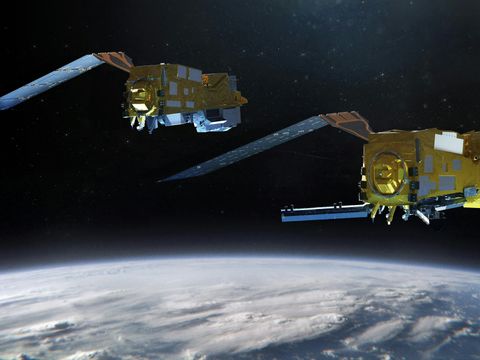
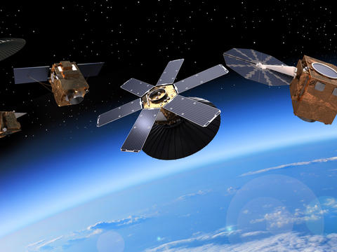
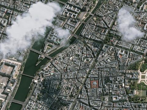
Space has become an undisputed diagnostic tool for detecting climatic and environmental changes on a planetary scale. Space-based systems offer a unique view of the Earth and as such have become unparalleled in enabling us to understand our planet as a whole. Space can also measure changes to the Earth reliably, accurately and consistently.
Observation satellites provide scientists with the essential data needed to detect environmental changes on Earth. As more than 50% of climate variables can only be measured from space, Earth observation satellites are a vital tool for monitoring the effects of climate change on natural ecosystems.
Airbus is involved in all major environmental monitoring satellite programmes in Europe and plays a key role in the Copernicus programme.
A driving force for Copernicus
Copernicus is the world’s most ambitious environment and climate monitoring programme. It provides accurate, timely and easily accessible information to better protect our planet and its environment, understand and mitigate the effects of climate change and to improve people's safety in case of emergency situations. This initiative is headed by the European Commission (EC) in partnership with the European Space Agency (ESA).
Copernicus is designed to provide important information in six key areas: land monitoring; marine environment monitoring; disaster and crisis management; monitoring of the Earth’s atmosphere; climate change monitoring; and security.
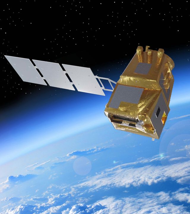
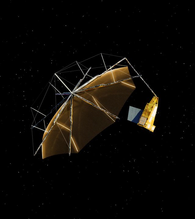
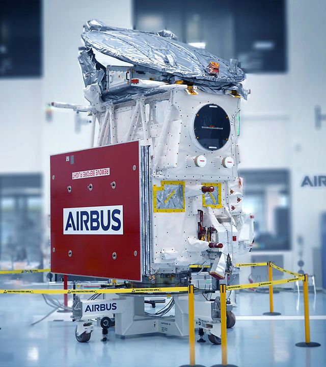
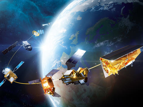
Airbus has played a key role in building the satellites and instruments for Copernicus since the programme began in 1998, contributing its expertise to all seven Sentinel missions and the new next-generation Copernicus satellites: CRISTAL, LSTM and ROSE-L.
Airbus’ contribution to the Copernicus programme
Airbus has been involved in seven of the satellites since the launch of the first Sentinel in 2014.
Sentinel-1
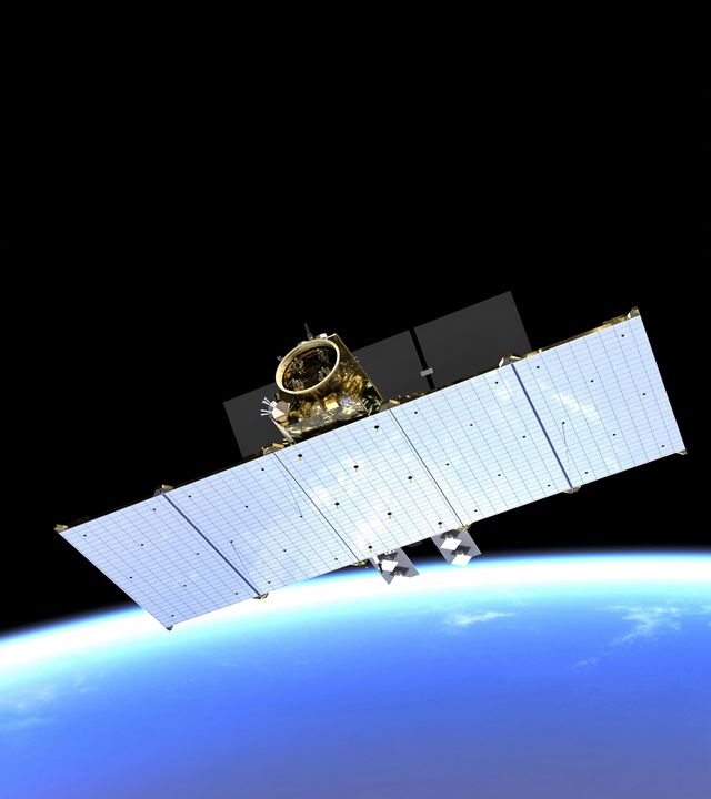
Thanks to its radar instrument, Sentinel-1 provides all-weather, day-and-night imagery of the entire Earth’s surface for maritime and land monitoring, emergency response, climate change monitoring and security.
Airbus developed and built the radar instrument for Sentinel-1.
The first satellite in the Sentinel-1 series, Sentinel-1A, was launched in 2014. It was followed by Sentinel-1B in 2016. Unfortunately, Sentinel-1B ceased operations in 2022. With the launch of Sentinel-1C in December 2024, the constellation will once again operate at full potential with two active satellites, Sentinel-1A and Sentinel-1C
Airbus delivered the Sentinel-1D radar in 2023.
Sentinel-2
From monitoring the health of the world's vegetation to mapping regions struck by natural disasters and supporting urban planning, Sentinel-2 is key to observing and understanding our planet.
Airbus is prime contractor for this two-satellite mission. Sentinel-2A was delivered to orbit in 2015, while its Sentinel-2B counterpart was launched in 2017. Sentinel-2C has been launched in 2024 and one more satellite is in production.
Sentinel-3
The data produced by Sentinel-3 allows scientists to monitor sea-level change and sea-surface temperature, manage water quality, and track marine pollution and biological productivity.
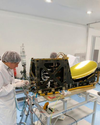
Airbus supplies this mission’s Microwave Radiometer – which determines the amount of humidity contained in the path of the radar pulses – as well as a number of satellite subsystems.
The two satellite components – Sentinel-3A and Sentinel-3B – were launched in 2016 and 2018, respectively. A further two satellites are in production.
Sentinel-4
Sentinel-4 will continuously monitor key air quality trace gases and aerosols, providing scientists with crucial knowledge about air quality of large parts of the Northern Hemisphere.
Airbus is prime contractor for the development and construction of its two spectrometers.
Sentinel-5 Precursor
Since 2017, Sentinel 5P is the first satellite dedicated to monitoring atmospheric chemistry for the Copernicus programme. It has provided some of the most detailed measurements of harmful gas emissions. A key mission that can only be done from space as these emissions are invisible to the eye.
Airbus designed and built the satellite and its instrument.
Sentinel-5
The high-precision Sentinel-5 instrument will monitor the Earth’s atmosphere on a global and daily basis, measuring trace gases and aerosols that impact climate and air quality.
Airbus is the Prime contractor for the Sentinel-5 imaging spectrometer. Sentinel-5 will be installed on an Airbus-built MetOp Second Generation satellite and fly in a roughly 800-kilometre polar orbit around the Earth.
Sentinel-6
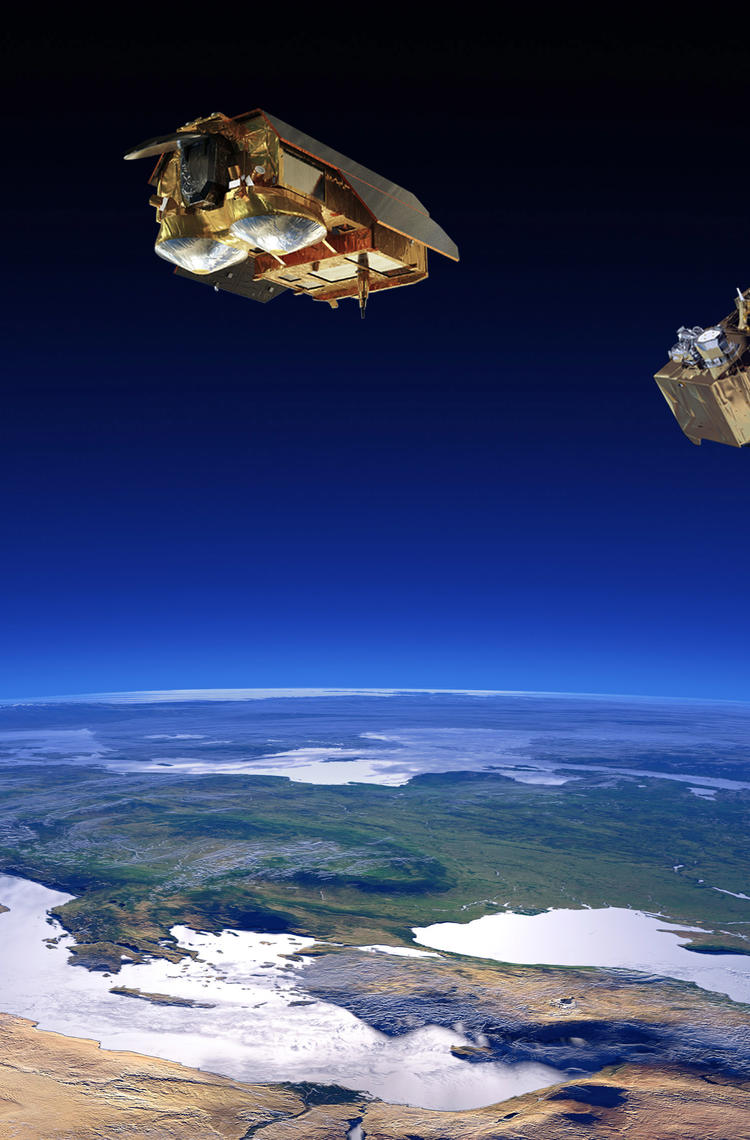
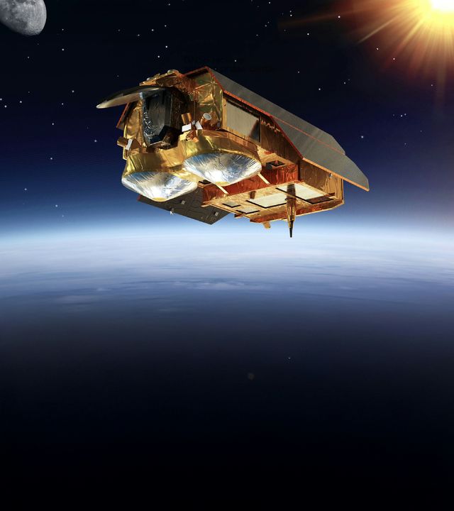
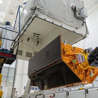
Sentinel-6 provides high-precision measurements of the topography of the ocean surface, essential information for the continued monitoring of sea level changes, a key indicator of climate change.
Airbus is the prime contractor for Sentinel-6.
The latest Earth observation news
in the spotlight
-

Airbus fosters Barry Callebaut`s efforts to develop a deforestation-free supply chain
Press Release
Sustainability
Airbus Defence and Space supports global chocolate and cocoa manufacturer Barry Callebaut, with satellite-based deforestation monitoring. -
Successful launch of Airbus-built Sentinel-6B climate satellite
Press Release
Space
-
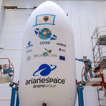
Airbus-built CO3D constellation successfully launched to map our planet in 3D
Press Release
Space
-
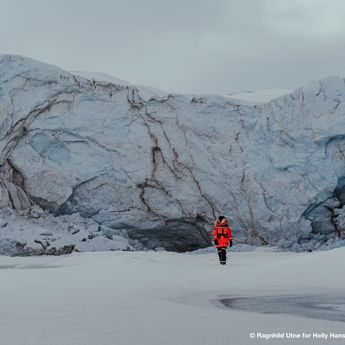
Glaciers in danger: satellites underscore extent of climate emergency
Web Story
Space
-
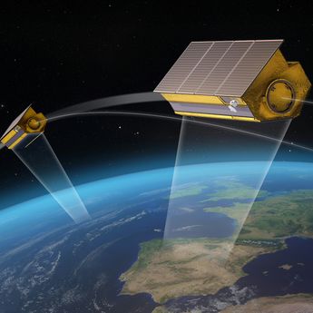
Airbus awarded Hisdesat contract to build PAZ-2 satellites reinforcing Spain's…
Press Release
Space
