Enhancing weather forecasts with satellites
Reliable weather forecasts are key to our safety and economy.
By providing timely warnings of storms, heat waves and disasters, accurate weather forecasts can help save lives and protect property and infrastructure. Over one third of Europe’s economy is weather- sensitive. This is particularly true for agriculture, energy and transportation.
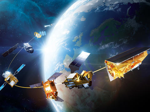
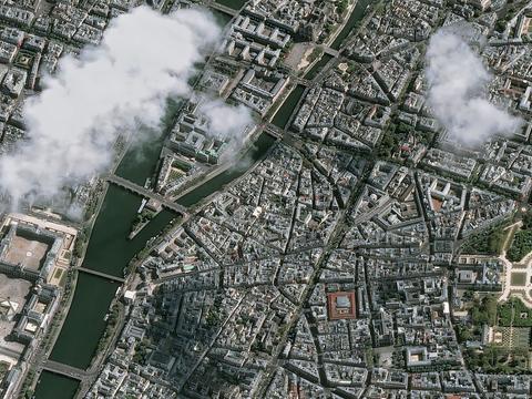
As extreme weather events become more frequent and severe, the need for high-resolution weather and climate data is growing. Satellites play a key role by providing continuous, real-time data covering variables such as temperature, humidity, and wind speed. This helps meteorologists to track weather systems and make more accurate predictions.
Airbus is a long-time partner of the Meteorological Operational Satellite Programme (MetOp), a collaboration between the European Space Agency (ESA) and the European Organisation for the Exploitation of Meteorological Satellites (EUMETSAT), providing both spacecraft and instruments.
Airbus also built Aeolus, the first spacecraft capable of performing global wind-component profile observations; and SEVIRI, the instrument for Meteosat Second Generation.
Taking weather forecasting to the next level
MetOp: Europe’s first operational polar-orbiting satellites
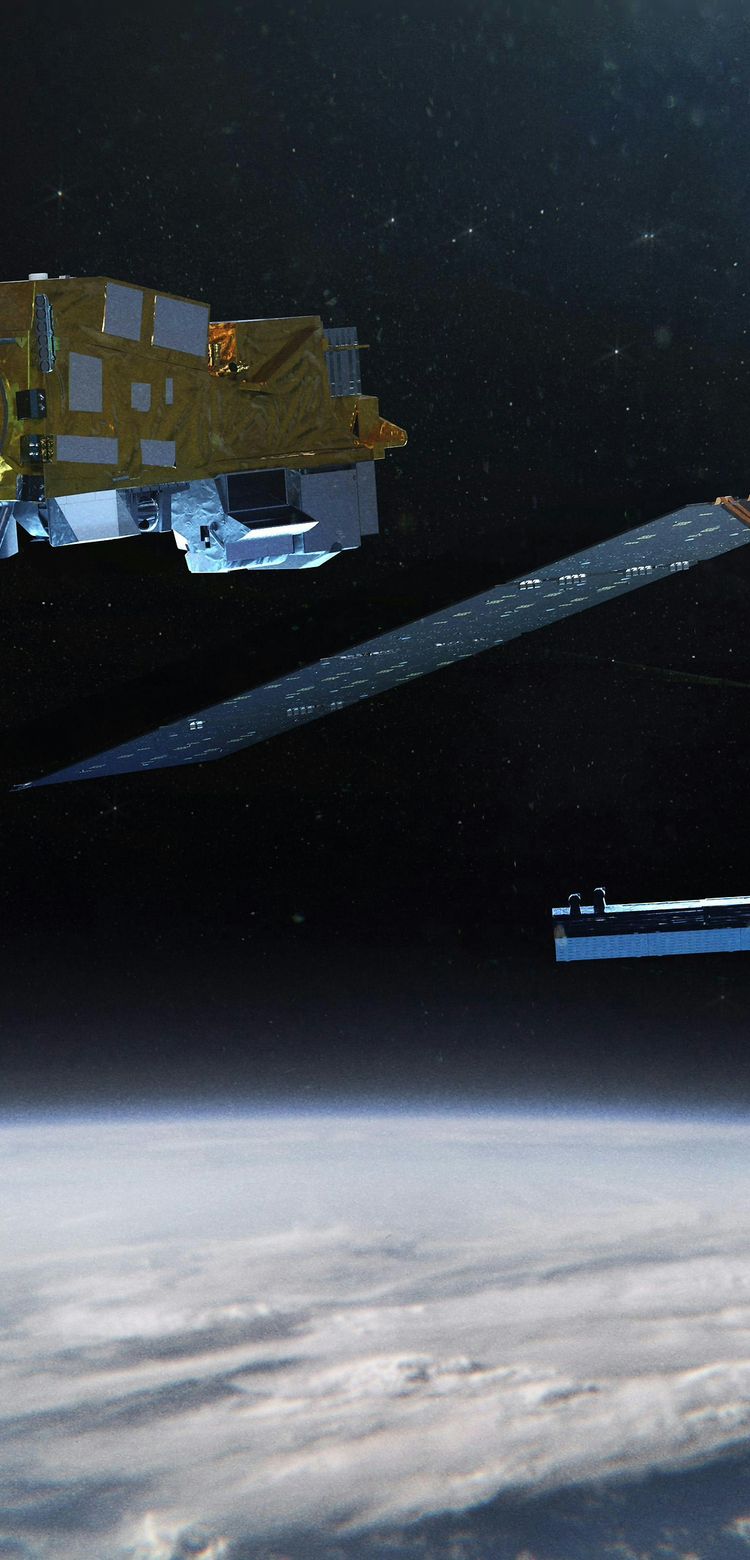
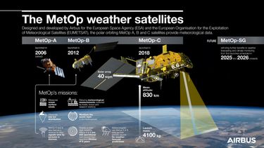
The Meteorological Operational Satellite Programme (MetOp) consists of three European polar-orbiting satellites which provide data services to monitor the climate and improve weather forecasts.
MetOp represents the European contribution to a new cooperation between EUMETSAT, ESA, France’s space agency CNES, and the US National Oceanic and Atmospheric Administration (NOAA).
The MetOp mission has radically improved the accuracy of weather forecasts, including extending short-term forecasts by one day. By operating simultaneously, its satellites provide the meteorological community with more data.
MetOp also measures ocean surface winds, observes sea ice distribution, and monitors the ozone layer in the stratosphere. Its satellites relay meteorological measurements collected by boats, buoys and research stations. MetOp-A and B feature a receiver to relay signals sent by persons in distress.
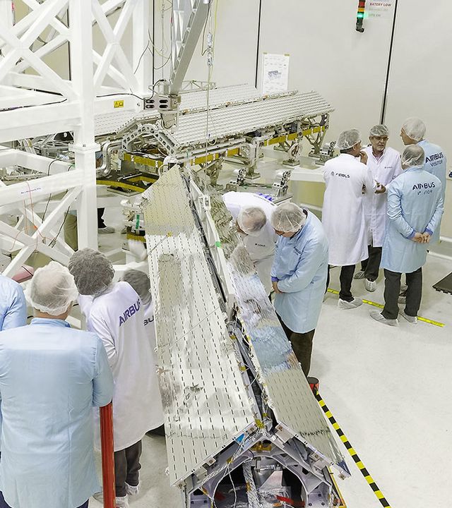
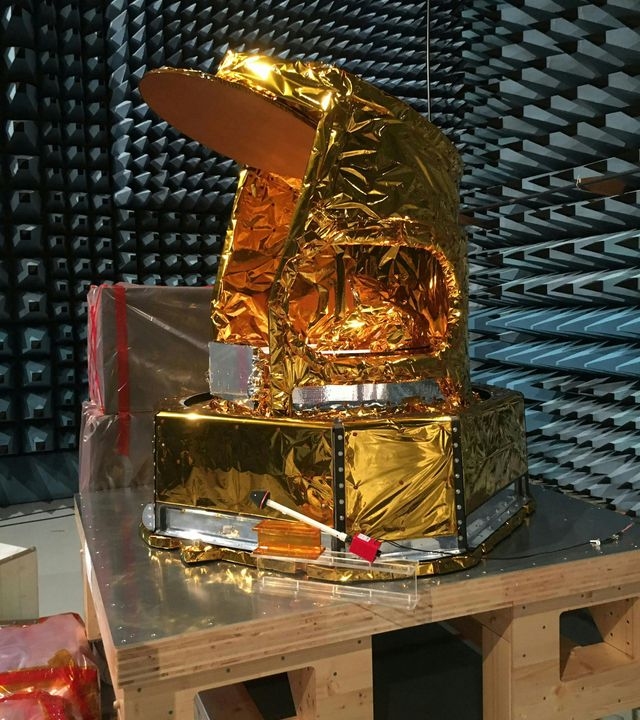
MetOp’s multiple instruments make for a versatile system Airbus was responsible for building two: the Microwave Humidity Sounder (MHS), and the Advanced Scatterometer (ASCAT).
After 15 years of successful operation, MetOp-A was retired in 2021. Equipped with a set of novel and advanced instruments as well as proven sensors, MetOp-A was the most influential weather satellite of its generation.
MetOp-B and MetOp-C will be used until the second generation of MetOp satellites – MetOp-SG - is operational.
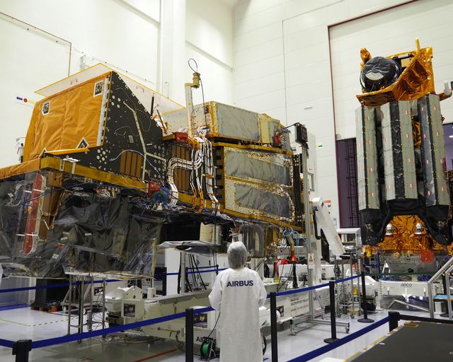
MetOp Second Generation: the future of weather forecasting
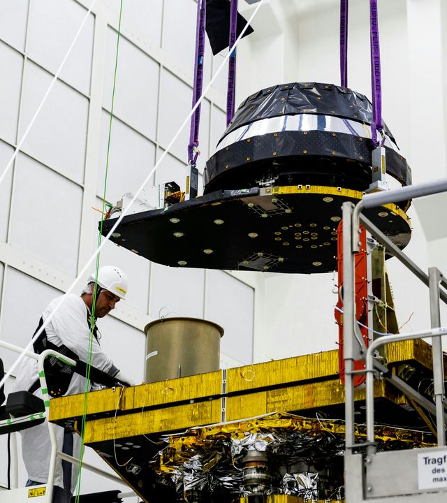
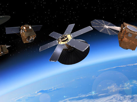
Metop-SG consists of two series of satellites. The Satellite A series focuses on optical instruments (including Sentinel-5) and atmospheric sounders, while the Satellite B series will carry microwave instruments.
With the first launches planned for 2025-2026, MetOp-SG will further improve weather forecasting and climate research and ensure seamless continuity with the current MetOp fleet. Data continuity is essential for weather forecasting and climate monitoring.

Aeolus, the wind mission
Built by Airbus, Aeolus was Europe’s wind sensing satellite and the first spacecraft to provide daily, near-real-time observations of global wind component profiles.
During its five-year mission, Aeolus provided reliable wind-profile information on a global scale. Such data is needed by meteorologists to continuously improve the accuracy of weather forecasts, and helps climatologists to better understand the dynamics of the Earth’s atmosphere.
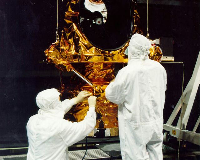
SEVIRI, Meteosat Second Generation’s High Resolution Radiometer
Designed and built by Airbus, SEVIRI is capable of observing the Earth in 12 spectral channels providing precise data throughout the atmosphere.
The data provided by SEVIRI is used in numerical weather forecasting models and in atmospheric and environmental research. Many necessary parameters to understand our environment are visible: the temperature of the surface and atmosphere, atmospheric water vapour content, cloud formations, storms, hurricanes, heavy rain and fog.
The latest earth observation news
in the spotlight
-
 Stories Innovation
Improving the world we live in with AI-powered products
Some Airbus space products help address land use issues by using artificial intelligence to improve satellite imagery analysis. -
 Press releases Space
Ariane-6 launches CSO-3: double success for France and Europe
-
 Press releases Space
Airbus-built Biomass forest measuring satellite shipped to Kourou
-
 Stories Space
Inside Atlid, mastering atmospheric LiDAR technology for space
-
 Stories Space
Preserving Madagascar’s biodiversity using satellite imagery
