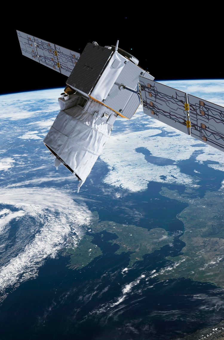
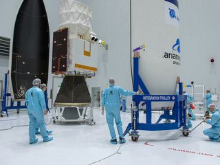
Following a sharp decline in weather-related measurements due to the COVID-19 pandemic, the Airbus-produced Aeolus satellite – launched in 2018 – has risen to the challenge and is providing the data needed for accurate forecasting across Europe.
The shortfall in meteorological input results from the reduced number of airline flights since the outbreak began, as sensor-equipped commercial aircraft normally supply much of the global data on temperature, wind speed and wind direction.
The power of observation
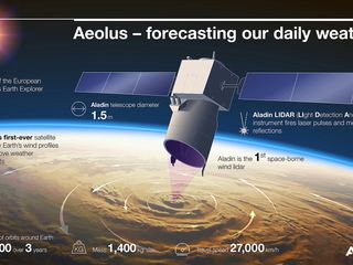
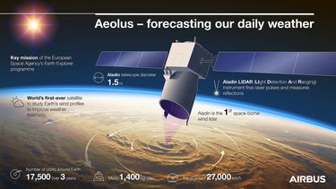
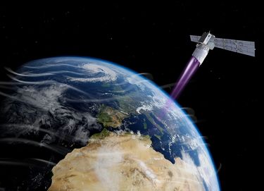
Owned and operated by the European Space Agency (ESA), Aeolus is the first satellite capable of performing global wind-component-profile observation on a daily basis in near real-time. A demonstrator satellite, it was developed to prove that new technologies can profile the Earth’s winds to understand how wind, pressure, temperature and humidity are interconnected – enhancing climate research and weather forecasting.
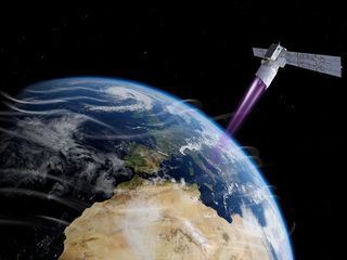
Aeolus is equipped with an innovative Airbus-designed LIDAR (Light Detection And Ranging) instrument called Aladin, which uses the Doppler effect to determine wind speed.
Aladin comprises a powerful laser, a large telescope and a very sensitive receiver. It emits short, powerful pulses of ultraviolet light down into the atmosphere and measures the shifts in wavelength of the laser light scattering off molecules and particles moving in the wind.
From ‘demonstrator’ to ‘demonstrated’
In January 2020, the UK-based European Centre for Medium-Range Weather Forecasts started using wind information from the Aeolus satellite as a regular data source – something which is extremely unusual for such a new type of data source. Just weeks later as the COVID-19 pandemic drastically reduced the number of flights around the world, Aeolus was able to fill the gap as fewer measurements were coming in from airliners.
Moreover it was recently confirmed that data from Aeolus is now being distributed to forecasting services and scientific users less than three hours after collection from space.
Philippe Pham who leads activities for Earth Observation, Navigation & Science satellites, added: “That Aeolus data is now being used as part of the operational weather forecasting flow demonstrates its quality and reliability. Built as a one-off research mission, Aeolus is truly exceeding all expectations – a testament to our engineers’ skill and determination in developing this new technology. Its success also paves the way for a possible future fleet of Doppler wind LIDAR satellites in space.”
#spacecematters topics visit our dedicated page
In the next feature story, learn about the important role forecasting plays in agriculture – and how Airbus supports sustainable production.
